
Lesson 4 of 15 Part 2: Why the levees broke
The fatal shortcut
In the 1980s, the Army Corps misinterpreted its own sheet pile load test and decided it could drive steel pilings 17 feet deep instead of 31 to 46. The decision saved $100 million. It cost a city.
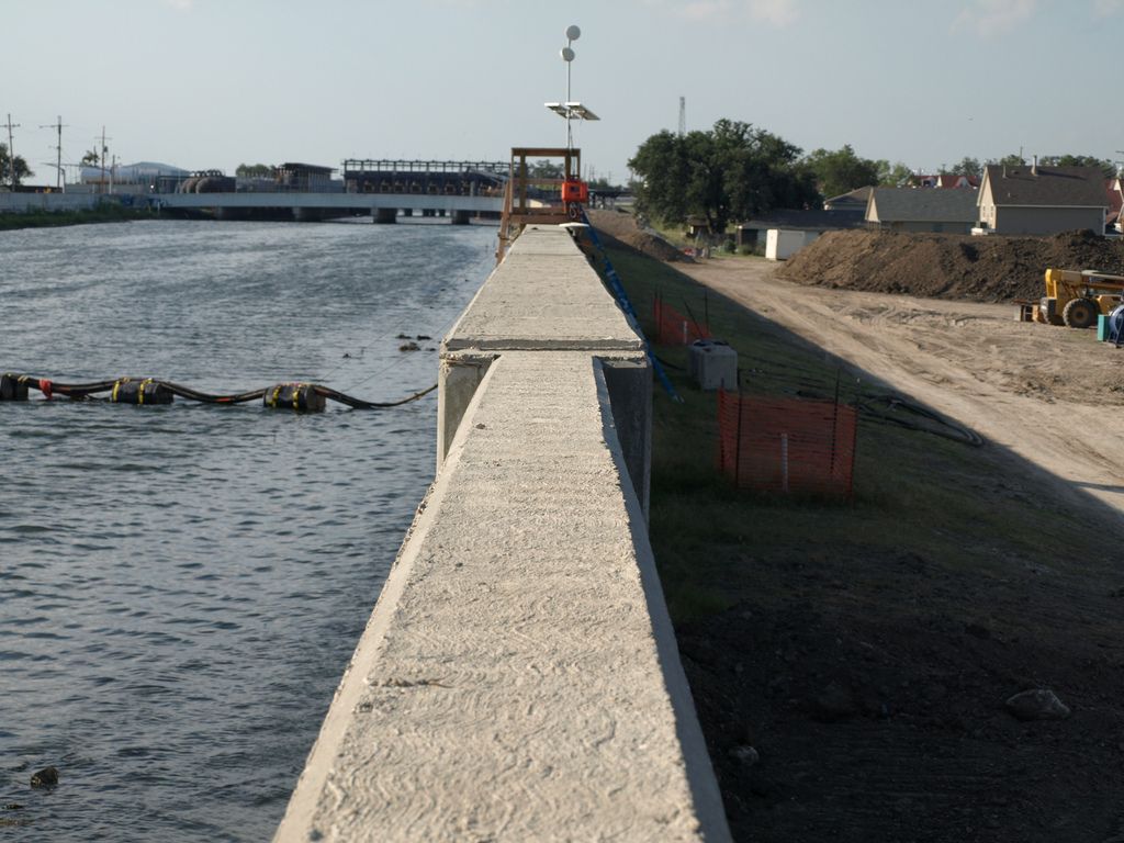
Buried deep in the preeminent report on the flooding — the federal government’s own Decision-Making Chronology for the Lake Pontchartrain & Vicinity Hurricane Protection Project — is a stunning analysis. It shows that the Army Corps of Engineers had misinterpreted one of its own studies, and that the mistake led directly to the flooding of the city’s main basin, where there is the highest concentration of people, property and infrastructure.
The report was prepared by water experts Douglas Woolley and Leonard Shabman for the Army Corps and published in March 2008. Its key finding is not in the executive summary.
What an I-wall is
To raise the levees along the city’s drainage canals without taking the houses built right up against them, the Corps used I-walls. An I-wall is a line of interlocking steel sheets — sheet piling — driven down through an earthen levee into the soil below, then capped with a concrete wall that sticks up above the levee. Seen from the end, it looks like a capital letter I standing in the dirt.
An I-wall stays upright only because of how deep its steel goes into firm ground. Drive it too shallow into soft soil, and the weight of water pressing against it can push it over — or water can seep underneath it and wash out the soil holding it up.
The E-99 study
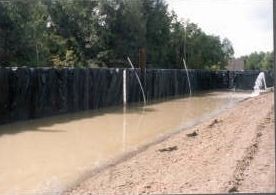
In 1985, the Corps’ Mississippi Valley Division headquarters initiated a large-scale Sheet Pile Load Test, known as the E-99 study, in the Atchafalaya Basin near Morgan City. The soils there are soft clays and organic soils similar to those in New Orleans. The Corps was behind schedule and faced ever-increasing costs.
According to the Chronology, the Corps executed the study improperly and wrongly concluded that:
…when foundation soils were poor, sheet pile penetration depth beyond a certain point would not significantly increase I-wall stability under the type of short-term loading conditions believed to characterize hurricane events… — Decision-Making Chronology (2008)
In other words, the Corps determined it only needed to drive sheet piles down to depths of 17 feet instead of between 31 and 46. It believed that “sheet pile penetration beyond a certain depth would not improve wall stability and therefore was a wasteful expenditure.”
The switch to significantly shorter sheet piles saved the New Orleans District about $100,000,000. But these cost savings “came at the expense of engineering reliability,” according to the Chronology (page 4-27).
What happened on August 29, 2005
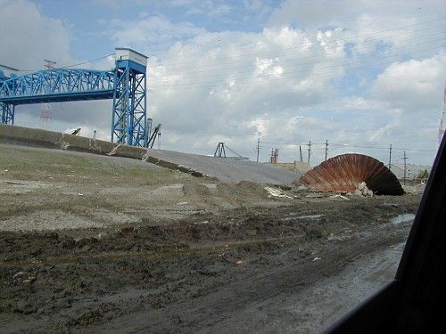
The newly raised floodwalls along the 17th Street and London Avenue Canals were completed only about six years before the storm. On August 29, 2005, they slid laterally and collapsed, causing at least $27 billion in direct residential, commercial and public property damage in the city’s main basin.
Post-Katrina investigations revealed what happened. As water rose against the walls, a gap opened between the steel and the soil on the canal side. Water rushed down the gap. Because the sheet piles were too short, water seeped beneath them, and the soft soils underneath gave way. The walls were pushed over with the canal water still well below their tops — at about half of the load they were designed to hold.
The shallow sheet pile depths led directly to the two levee breaches on the London Avenue Canal, and to the north breach of the Inner Harbor Navigation Channel by the Lower Ninth Ward, and they contributed to the levee breach at the 17th Street Canal. … Deeper sheet piles would likely have prevented these catastrophic failures. — Dr. Raymond Seed, co-chair of the independent levee investigation funded by the National Science Foundation, 2012
Overtopping, sand, and short steel
The roughly 50 breaches around the region did not all fail for the same reason. It helps to sort them into three kinds:
| What happened | Where | Why |
|---|---|---|
| Walls pushed over below their design height | 17th Street Canal; London Avenue Canal (both sides) | Sheet piles too short; weak soils and a thick sand layer were not properly accounted for |
| Walls overtopped, then undermined | Industrial Canal | Water poured over the wall and scoured a trench behind it; surge was amplified by the “funnel” of the navigation channels |
| Earthen levees washed away | New Orleans East (GIWW), St. Bernard Parish (MR-GO) | Built of sand and shell dredged from the channels instead of clay; unarmored; some still below design grade |
Every one of these is a design, construction or maintenance decision that belonged to the Army Corps. The next four lessons visit each breach in turn.
The T-wall: what it should have been
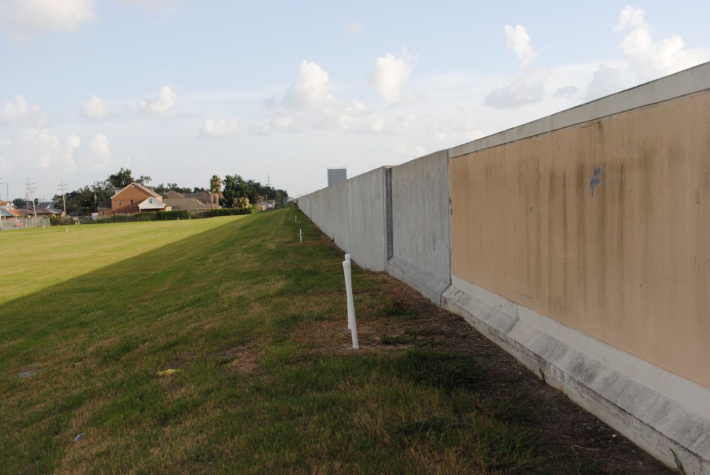
Walk to any of the repaired breach sites today and you will see a different kind of wall: a T-wall. A T-wall sits on a wide concrete base anchored by deep piles, so that from the end it looks like an upside-down T. It is three times more expensive to build. At the 17th Street Canal you can easily tell the new wall from the old by its different texture, color and thickness.
The lesson for the nation
In 2006, U.S. Army Corps of Engineers Headquarters issued new guidance about the deficiencies discovered in the design of I-walls in New Orleans. As later described in Engineering Technical Letter ETL 1110-2-575:
These deficiencies centered on the phenomenon of a gap formed by flood loading between sheet pile and the soil on the flooded side of the wall. This gap contributed to several breaches of I-walls in New Orleans prior to their overtopping related to global stability or seepage.
Working with the nation’s civil engineers, the Army Corps used the information gleaned from forensic investigations of the levee and wall failures to rewrite the manuals used to build new structures worldwide.
This sort of mistake — decisions made in a rush to save time and money — is not unique to New Orleans. When the Oroville Dam spillway in California began ripping away in 2017, reports revealed it had been built on a rushed schedule on weathered rock that could easily crumble. Some 188,000 people had only hours to escape. Like the Oroville Dam spillway, decisions made in a rush resulted in disaster.
Go deeper
- The Spectacular Failure of the Outfall Canals in New Orleans during KatrinaBy Sandy Rosenthal and H.J. Bosworth Jr.
- Corps of Engineers blamed New Orleans officials for Katrina flooding but new data shows Corps took deadly shortcut
- Root cause of Oroville Dam spillway disaster similar to New Orleans levees
Sources
- Woolley & Shabman, Decision-Making Chronology for the Lake Pontchartrain & Vicinity Hurricane Protection Project (March 2008), p. 4-27
- U.S. Army Corps of Engineers, Engineering Technical Letter ETL 1110-2-575, guidance on I-wall design following the 2005 failures
- Water Policy 17(4), 2015