
Lesson 8 of 15 Part 2: Why the levees broke
New Orleans East, St. Bernard and the MR-GO
East and south of the city, levees built of sand and shell washed away, and a federal shipping channel that was nearly obsolete the day it opened turned a buffer of cypress swamp into open water.
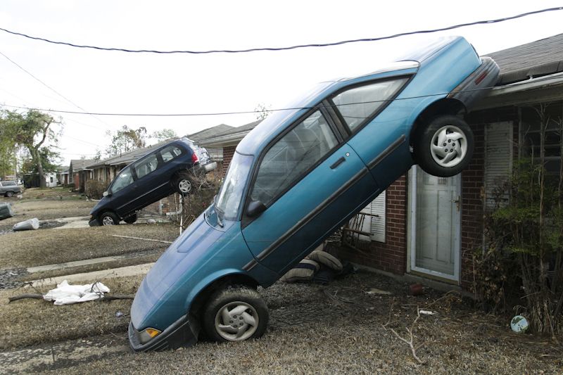
The breaches on the drainage canals and the Industrial Canal flooded the heart of New Orleans. But the flooding east and south of the city — in New Orleans East and St. Bernard Parish — was just as catastrophic, and it happened for different reasons.
New Orleans East and the GIWW
The residential region known locally as “New Orleans East” was flooded mainly because of multiple breaches in the levee along the Gulf Intracoastal Waterway (GIWW). Eighty percent of the area — home primarily to middle- to upper-class African American homeowners — was flooded by more than six feet of water; almost half the region sustained more than eight feet. The flooding did enormous damage to Pines Village, Little Woods, Plum Orchard, Read Boulevard East and West, Village de l’Est, Venetian Isles and Lake Catherine.
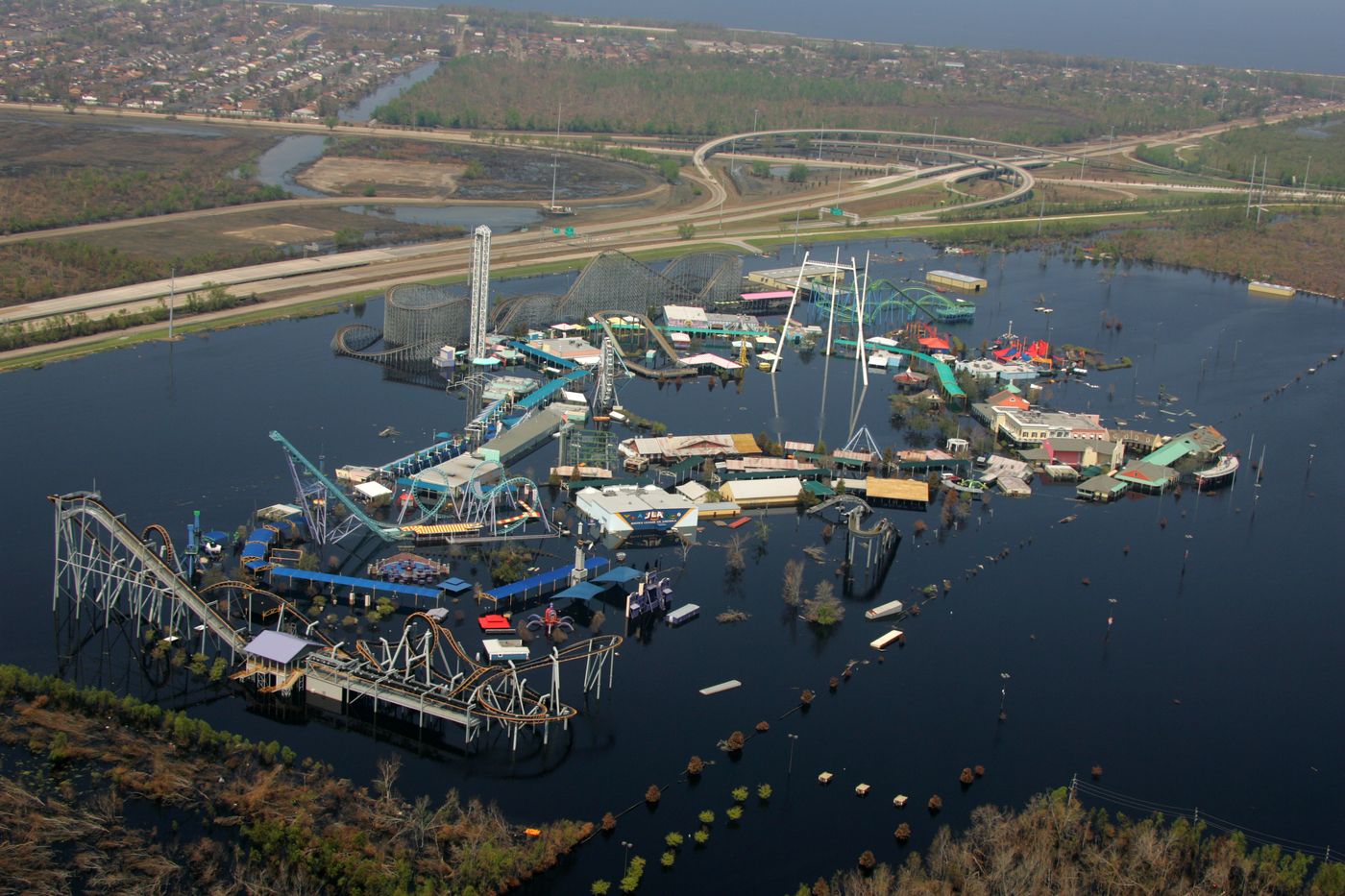
In the early 1900s, this region was mainly wetlands and cypress swamp snaked with natural bayous. There was little development except along the long, narrow ridge of higher ground on Gentilly Road and the higher ground along Lake Pontchartrain. After Hurricane Betsy, the Army Corps’ Authorized Plan of Protection called for new levees along the lake and levee enlargement along the GIWW. The region grew rapidly in the late 1960s and 1970s, as new subdivisions catered to people who wanted a suburban lifestyle within the city limits.
New Orleans East flooded during Katrina for two reasons:
- The wrong material. Portions of the levees along the GIWW were filled with sand or erodible materials instead of good, thick Louisiana clay. This can only be explained by lax quality control on the part of the Army Corps and/or its contractors during construction. The first independent investigation found these levees “contained major volumes of highly erodible sands and lightweight shell sands” dredged from the adjacent channel. They “massively eroded.”
- The funnel. The same surge-amplifying funnel that drove water into the Industrial Canal, formed by the levees of the GIWW and MR-GO.
The investigators were blunt: the storm surge along the eastern side of New Orleans East “was not vastly greater than design levels and the carnage that resulted owed much to the inadequacies of the system.” The catastrophic erosion “need not have occurred.”
After Katrina, the breaches were repaired with more suitable materials, and the earthen levees were armored with a combination of grass and riprap.
St. Bernard Parish and the MR-GO
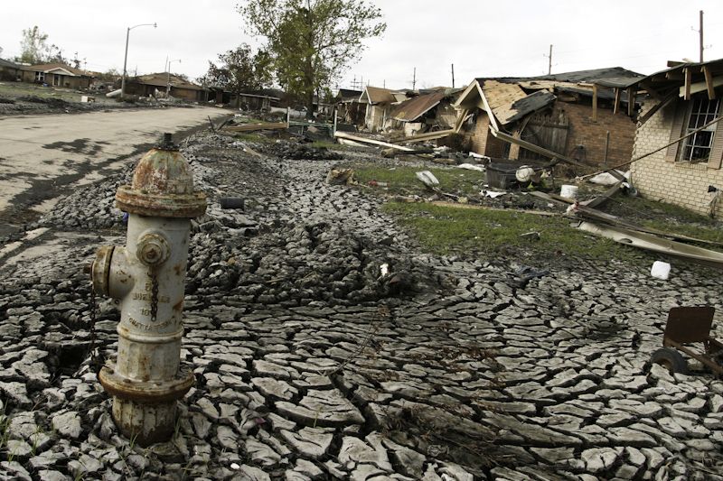
St. Bernard Parish lies downriver from New Orleans, southeast of the city. It is home primarily to white, lower- to middle-class homeowners, built along the natural high ground beside the Mississippi River. Virtually 100 percent of St. Bernard Parish went underwater during Hurricane Katrina, mainly due to the Army Corps’ inadequate maintenance of the Mississippi River Gulf Outlet, a little-used navigation channel.
“As straight as an engineer’s ruler”
In 1940, New Orleans leaders dreamed of a navigation canal that flowed all the way to the Gulf of Mexico, shortening the distance from the city to the Gulf from 120 miles to roughly 75. The Army Corps predicted the outlet would add $1.45 to the economy for each $1 of taxpayer money spent. The project was approved and built by the Army Corps.
The MR-GO — “as straight as an engineer’s ruler” — runs south-southeast through the St. Bernard wetlands, just west of Lake Borgne, to the Gulf. On the day it opened in 1965, it was already nearly obsolete, too narrow and too shallow for larger vessels. Worse, its straight design and lack of outward flow made it “the perfect shortcut for salt-water intrusion.” Salt water destroyed the storm-surge-buffering cypress forests and freshwater wetlands that had historically protected Orleans and St. Bernard Parishes during hurricanes.
The channel was designed to be 625 feet wide at the surface, 500 feet at the bottom, and 36 feet deep. But the Army Corps’ own Louisiana Ecosystem Restoration Study in late 2004 calculated that ship traffic had caused the north bank to erode at 35 feet per year — “the direct loss of approximately 100 acres of shoreline brackish marsh every year.” When Katrina arrived, the channel was up to 3,000 feet wide, wide enough for waves up to nine feet high. Those waves destroyed the levees, many even before the maximum surge reached them.
The flood
Surge from the MR-GO and Lake Borgne rushed over the banks of the channel and its levees — which, like those in New Orleans East, had been built largely of sand and shell dredged from the channel, and in places were still several feet below their design height. The water advanced to St. Bernard Parish’s second line of defense, easily overtopped the 40-Arpent Canal’s levee, and filled the entire parish to a height of 11.5 feet above sea level — deeply flooding even neighborhoods well above sea level.
There was only one criminal trial resulting from deaths in the 2005 flood: the trial of nursing home owners Sal and Mabel Mangano, charged with negligent homicide in the deaths of 35 elderly residents who perished in the quickly rising water in Violet. The couple had sheltered in place with their residents, along with their own extended family including two young grandsons, over concerns the frail residents could not survive an evacuation. The area had not flooded during Hurricane Betsy. The nursing home flooded in minutes. The trial captivated the nation. According to Dr. Ivor van Heerden, who testified, one very important reason for the Manganos’ acquittal was that the trial strongly showed that the Army Corps was at fault for the flooding and deaths.
Closing the MR-GO
In June 2008, the Army Corps’ New Orleans District submitted a deep-draft de-authorization study of the MR-GO which stated, “An economic evaluation of channel navigation use does not demonstrate a Federal interest in continued operation and maintenance of the channel.” Congress ordered the MR-GO closed.
In court
In November 2009, federal Judge Stanwood Duval ruled that the Army Corps’ mismanagement of the MR-GO was directly responsible for flood damage in St. Bernard Parish and the Lower Ninth Ward. It was the first time the government had been held liable for any of the flooding.
The U.S. Fifth Circuit Court of Appeals ruled in March 2012 that Duval was correct — and then the same panel reversed its own decision six months later. The Army Corps was immune from damages under a provision that protects a federal agency when it makes a “discretionary” decision. The U.S. Supreme Court refused to hear the appeal.
Why this matters beyond Louisiana “I predict that attention will fall to an 81-year old law on the books that gives our Army Corps no incentive to engineer structures properly, and metes out no consequences should its work fail. This is important to you because the majority of the nation’s population lives in counties protected by levees. And the most important levees are built by your Army Corps.” — Sandy Rosenthal, November 20, 2009
That completes our tour of the breaches. In every case, the record points to the same agency. So why do so many people still believe otherwise? The next part of this course follows the investigations, the lawsuits, and the story that took hold before either was finished.
Go deeper
Sources
- Independent Levee Investigation Team (ILIT), 2006
- U.S. Army Corps of Engineers, Louisiana Ecosystem Restoration Study, 2004
- U.S. Army Corps of Engineers, New Orleans District, MR-GO Deep-Draft De-authorization Study, June 2008
- In re Katrina Canal Breaches Consolidated Litigation (Robinson), Judge Stanwood Duval, November 2009